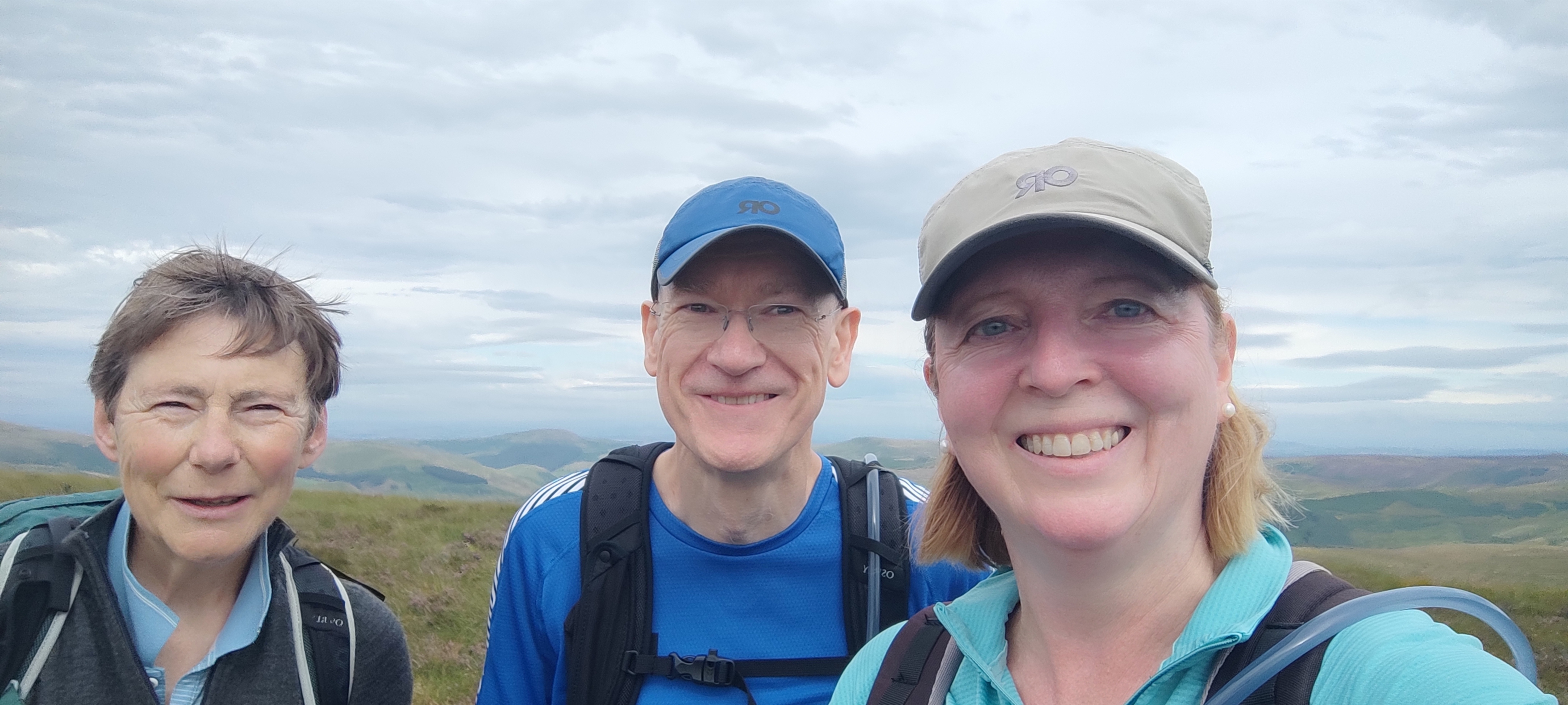
The Cheviot
Moira Crawford / Crawford Macnab
13 August 2024
We all know you can never guarantee Scottish weather and it’s going to be a gamble sometimes. So we started the walk at 9am instead of 10am to get the best of the forecast weather, and the gamble paid off. Apart from a few drops of rain that didn’t come to anything, it was dry the whole time we walked.
Three of us (Crawford, Moira, and Sarah) plus Sarah’s dog Cosmo set off from Cocklawfoot Farm, stopping briefly for a photo at the start of Clennell Street (An ancient route through the Cheviot Hills, connecting Morpeth and Kelso. It is a historic trackway that has been used for centuries, linking the two towns across the border between Northumberland, England, and the Scottish Borders).
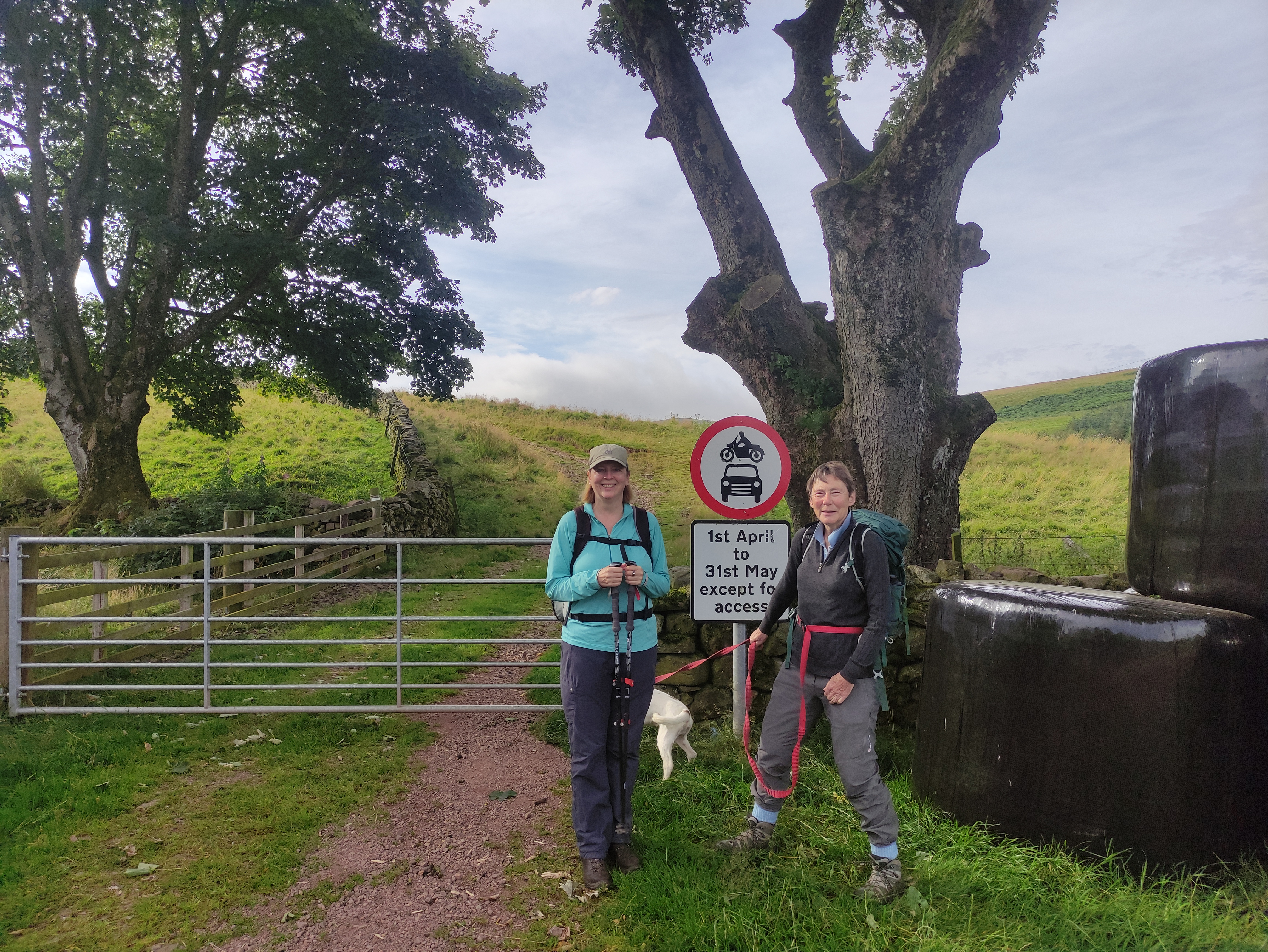
Cocklawfoot Farm
A steady ascent, led by Cosmo 🦮😁, took us up to reach the Pennine Way ahead of schedule.
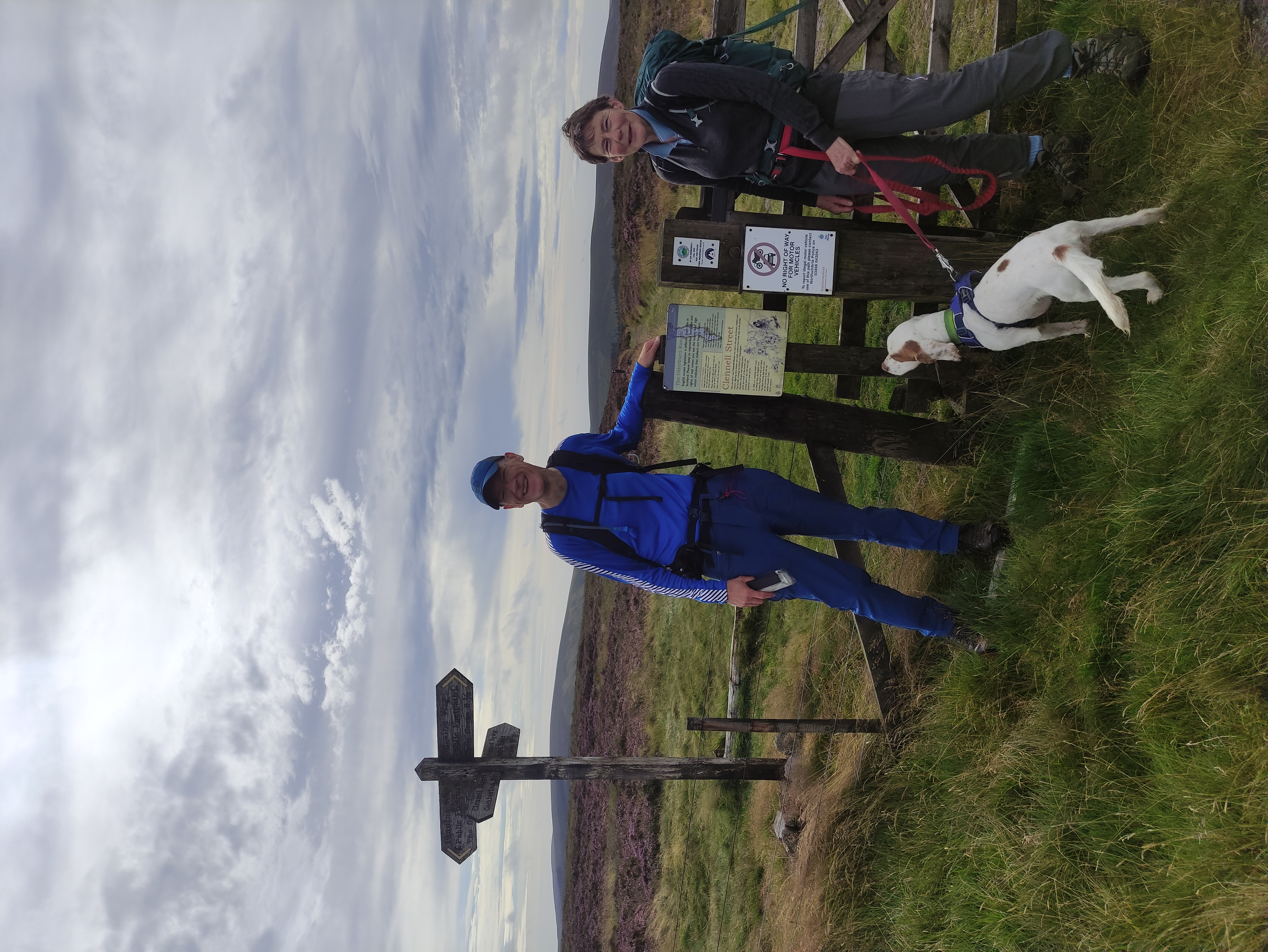
Clennell Street crosses Pennine Way
Much of this section of the Pennine Way is paved with flagstones that makes for easy going on what otherwise would be very boggy terrain!
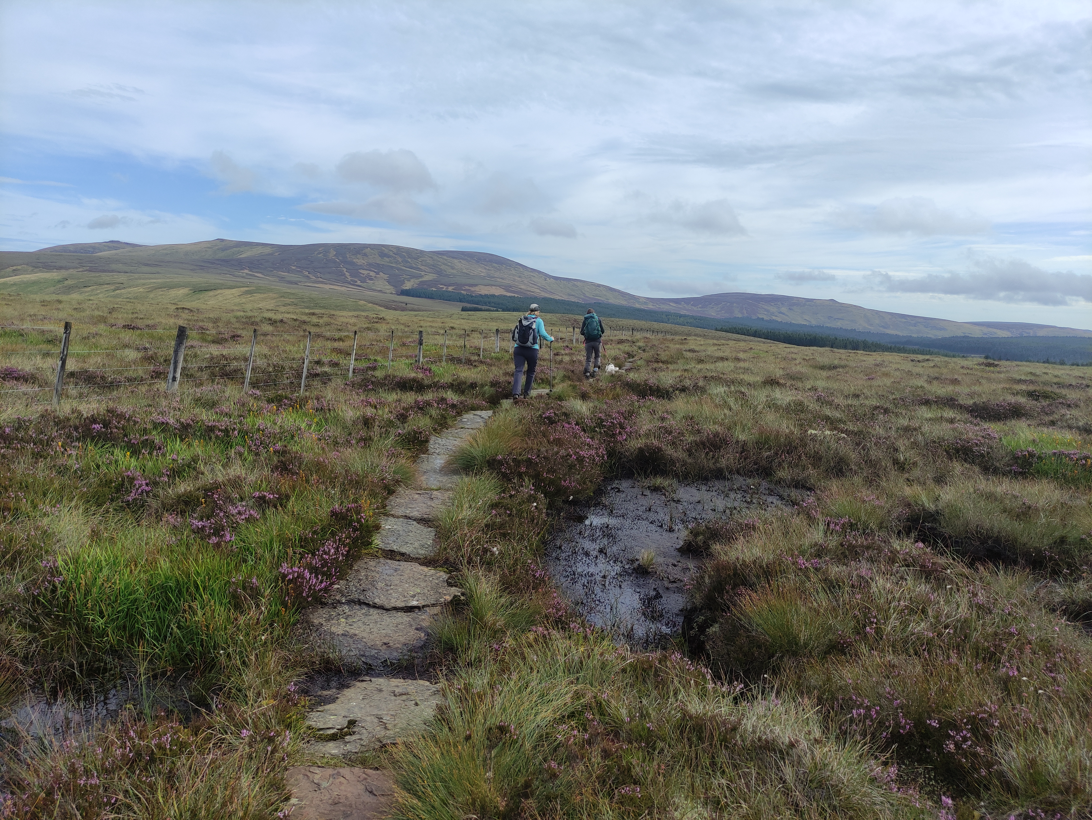
Flagstones, heading north east towards the Cheviot
Encouraged by the light grey clouds, and finding it not too windy, we continued along the Pennine Way to King’s Seat at 530m, where we stopped for a water and snack break, enjoying the solitude of the surrounding hills.
King's Seat
Making good time, thanks to the flagstones and the lower than forecast wind (behind us), we climbed up the slopes of West Cairn Hill and continued over Cairn Hill to reach the summit of The Cheviot shortly before noon.
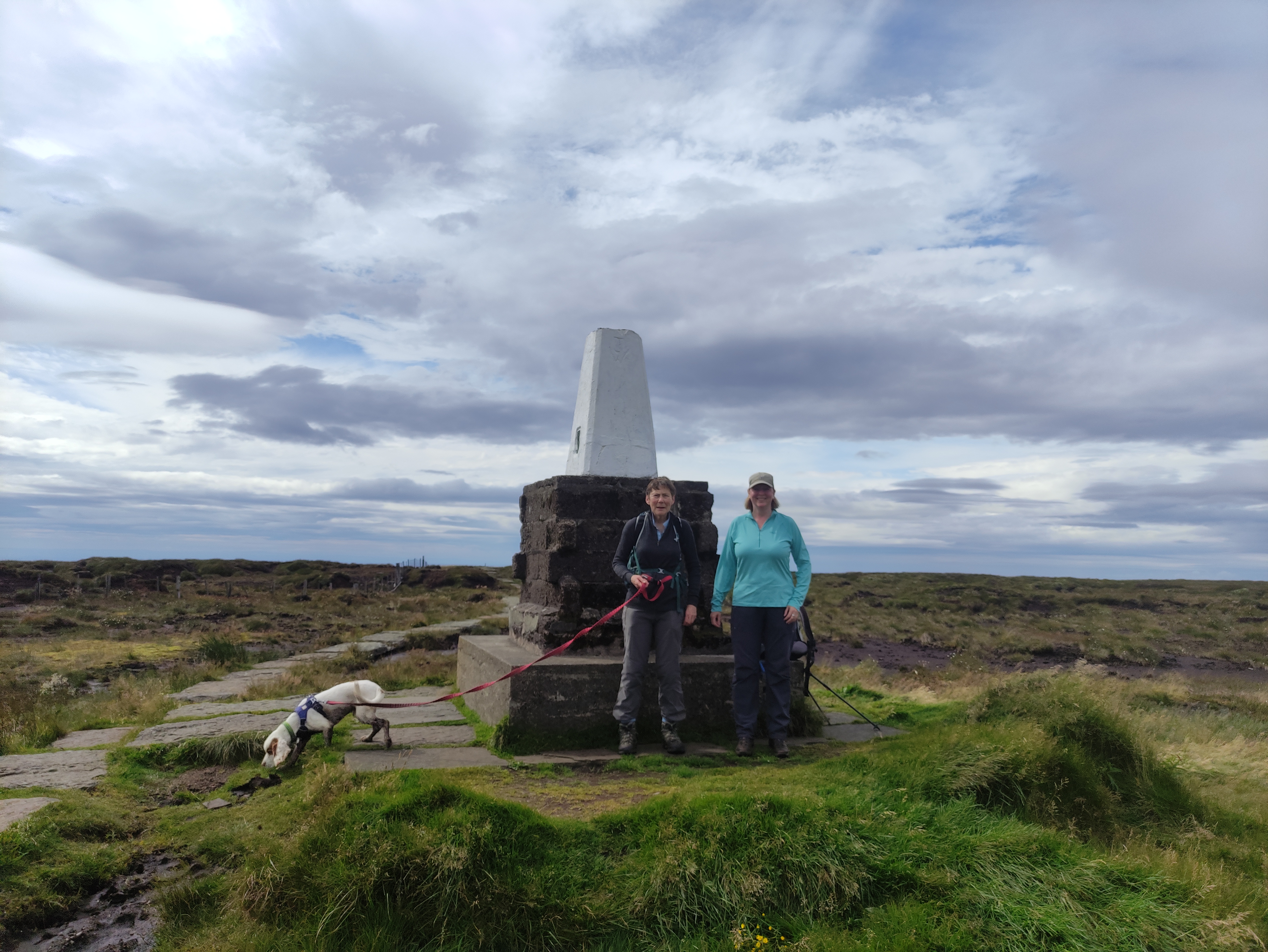
The Cheviot
It was here we came across only one of three other people we saw all day. At 815m with the wind having picked up we decided to retrace our steps back down to the excellent Scotmans’s Cairn for a well earned and sheltered lunch.
After lunch we soon returned back to the junction where we’d previously turned off for the out/back to The Cheviot. At this point we spoke briefly to a couple that were walking along the Pennine Way over The Schil to its end point at Kirk Yetholm. The descent started gently down to Auchope Cairn with extensive views all around.
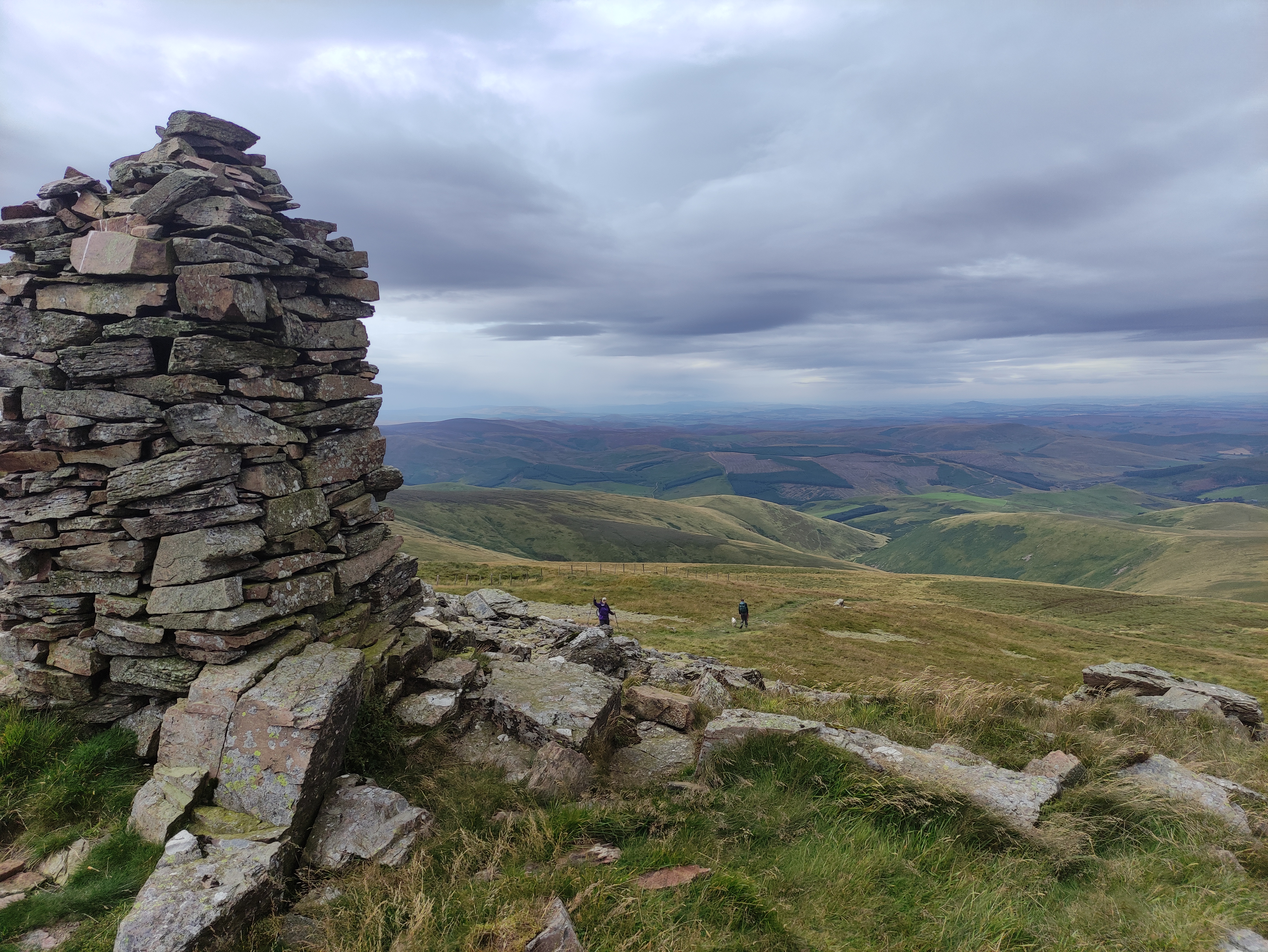
Auchope Cairn
Now walking into the much stronger wind it was heads down taking care on the steepest part of the descent. Part way down we stopped for a brief stop to take off a layer and look back in to the impressive steep sided Hen Hole.
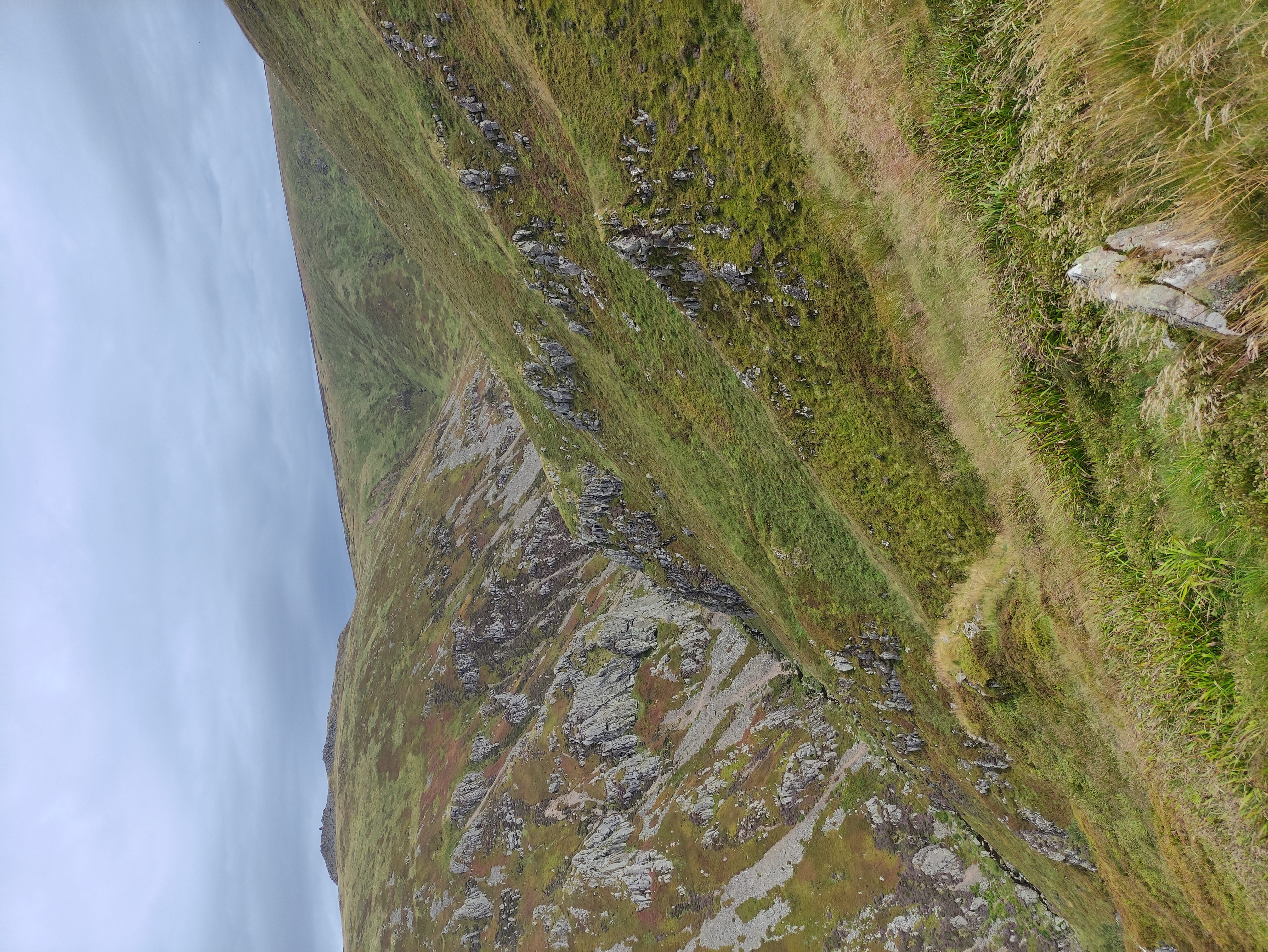
Hen Hole
Without any issue we were soon off the steep grassy slope and continued on the Pennine Way with a small pull up to the sturdy looking Auchope Mountain Refuge Hut. We had a wee look inside as you do and Sarah had a peruse of the visitor’s book.
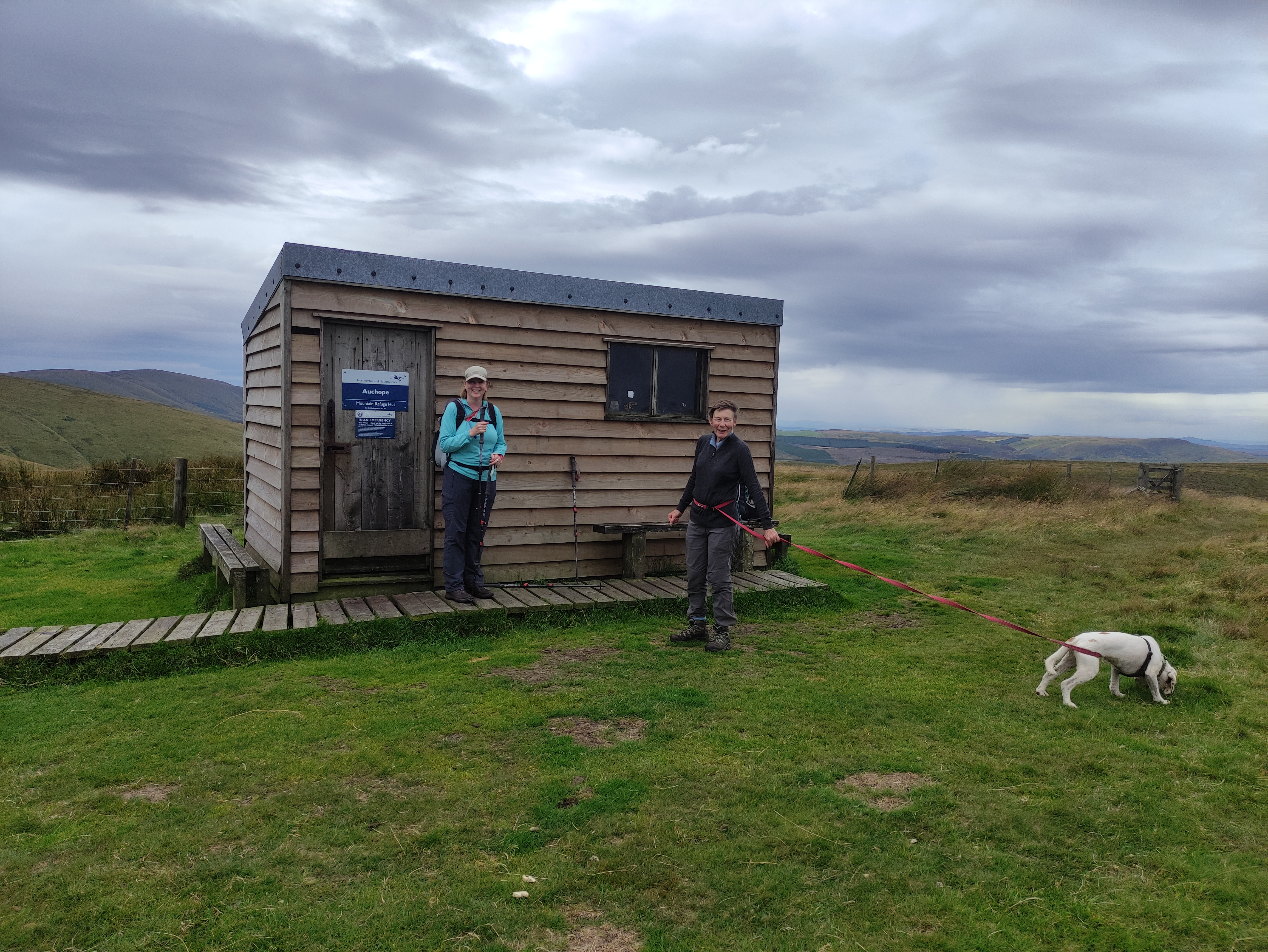
Auchope Mountain Refuge Hut
Not long after passing the shelter we departed from the Pennine Way and continued south west to descend Auchope Rig to return to our starting point.
Upon returning to the parked cars, whilst getting our boots off, we watched as the farmer showed us how to cross the ford with his heavily laden trailer. (on seeing this we asked Sarah if she had enjoyed crossing the ford of the Bowmont water on her way to the start point only for her to reveal that she had taken the small bridge to the left that we failed to spot! (we used the bridge on our way back))
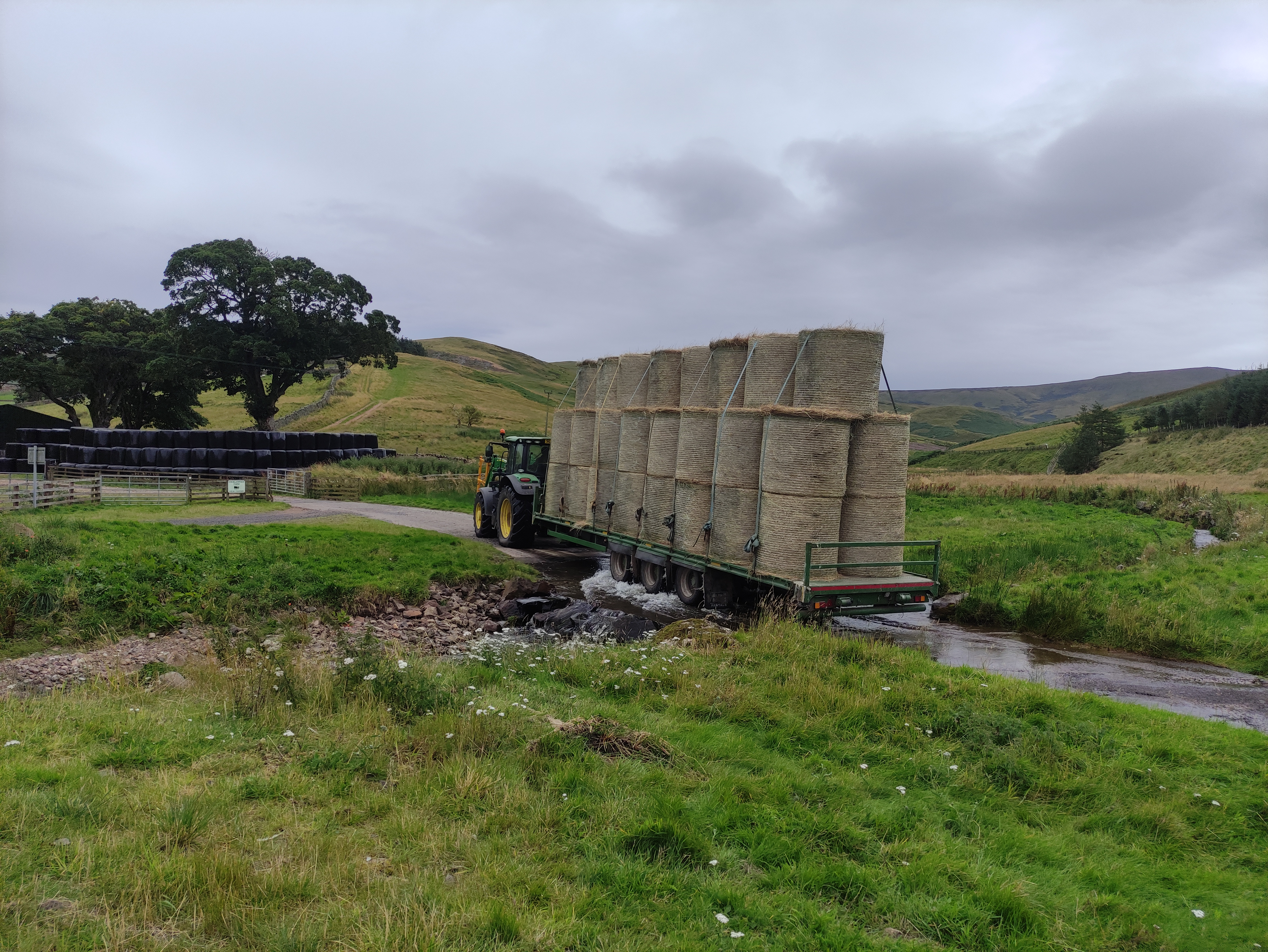
Ford
A very enjoyable walk especially given the weather forecast.
Moira Crawford / Crawford Macnab